See the full picture
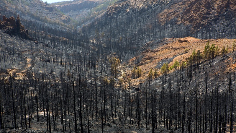
After a wildfire, speed matters. Our Burned Area solution delivers clear, map-based answers within hours — showing exactly where the land was damaged and how severe the impact is. Whether you are a utility, insurer, or forestry agency, you get the clarity to act quickly and responsibly.
How it works
Behind the scenes, our platform fuses satellite imagery with AI models trained to recognize burn scars with exceptional accuracy. The technology considers temperature shifts, vegetation loss, soil conditions, and other environmental cues — giving you results that are both scientifically rigorous and business-ready.
Why it matters
Burned Area mapping is more than a damage report. It's the foundation for recovery, resource allocation, and resilience planning. From quantifying insured losses to prioritizing reforestation, we help you make faster, smarter decisions when every hour counts.