
From uncertainty to foresight
When a fire is active, every decision is a race against time. Ottosi turns raw data into clear forward views — showing the most likely spread corridors and when they may be reached. You get confidence to deploy crews, protect infrastructure, and prioritize evacuations before conditions change.
How it works
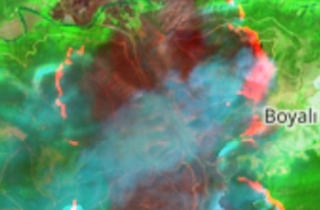
- Live inputs: weather forecasts, wind and humidity, fuel type & load, terrain and slope, and the latest fire perimeter.
- AI + physics: our model blends data-driven learning with proven fire behavior logic to project likely movement.
- Time horizons: near-term hours plus multi-day outlooks, refreshed as conditions update.
- Actionable views: probability bands and corridor maps that are easy to brief and act on.
Why teams rely on Fire Spread
- Faster decisions
See the next moves of the fire and act before it arrives. - Safer operations
Protect crews and communities with route- and time-aware insights. - Asset protection
Prioritize critical infrastructure and plan switching or patrols. - Clear briefings
Simple, shareable maps for incident command and partners. - Continuously updated
New runs as weather shifts or new perimeters are detected. - Scales anywhere
From local incidents to national networks, with consistent outputs.
Who it’s for
- Utilities: plan patrols, switching and crew staging along high-risk spans.
- Public safety: inform evacuation triggers and resource placement.
- Forestry: protect high-value stands and plan counter-measures.
- Insurers: anticipate exposure and support rapid claims response.
See it on your network
Share an area of interest and we’ll provide a live demonstration with spread forecasts and alerting options.